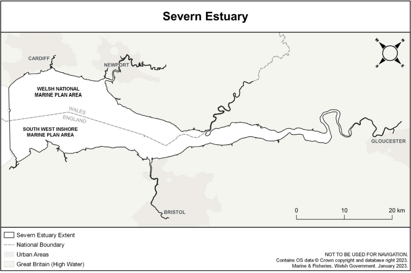
The Severn Estuary is located at the intersection between the English and Welsh marine planning regimes. Within Marine Planning, the Estuary is considered as the whole area from it’s seaward extent (Brean Down to Lavernock Point in Wales through Flat Holm Island) to its furthest tidal extent, near Glouces (Figure1).
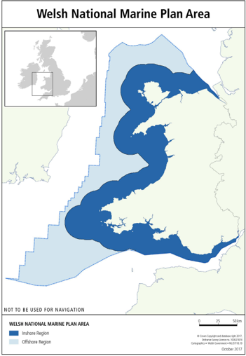
The lower half of the estuary falls within the South West Marine Plan area of the English marine plans and the upper half falls within the Welsh National Marine Plan area, links to the respective plans can be seen below.
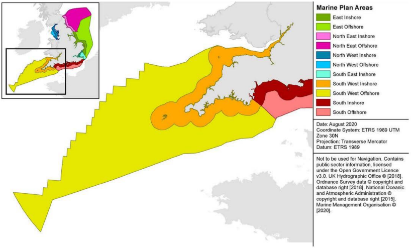
England South West Marine Plan
The South West Marine Plan was adopted by
Secretary of State for Environment, Food and Rural
Affairs on 23 June 2021.

Welsh National Marine Plan
The Welsh National Marine Plan was adopted
by Welsh Ministers on 12 November 2019.
Marine Plan Portals
Both the Welsh National Marine Plan and South West Marine Plan can be accessed by the visual and interactive Portals below:
Cross-border Marine Planning
The Welsh National Marine Plan and South West Marine Plan both include specific policies on cross-border cooperation and plan compatibility. These policies set the context and requirements of cross-border working and decision-making.
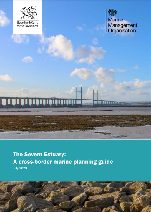
Welsh Government and the Marine Management Organisation (MMO) have produced a Cross-Border Marine Planning Guide to aid the implementation of Marine Planning in the Severn Estuary.
The guide provides an overview of marine planning policies and related considerations relevant to the Severn Estuary.
The Severn Estuary: A cross-border marine planning guide
